Mayan Maps
Welcome to History Link 101's Mayan Maps Page. History Link 101 is a site developed for World History Classes, by a World History Teacher.
General Maps
Map
of Mayan and Olmec Areas
Visual = 5 Content = N/A
Y3010
Map
of Pre classical Period 2000 B.C. to 250 A.D.
Visual = 5 Content = N/A
Y3020
Map
of Classical Period 250 A.D. to 900 A.D.
Visual = 5 Content = N/A
Y3030
Map
of Post classical Period 900 A.D. to 1521 A.D.
Visual = 5 Content = N/A
Y3040
Environmental
Maps Shows altitude, mean rainfall, and mean temperature of Yucatan Peninsula
in black and white.
Visual = 5 Content = N/A
Y3050
Quick
Tour Map of Mayan Click on the Mayan Cities to see pictures and a
short explanation of the Mayan City. By Nova.
Visual = 5 Content = 5
Y3060
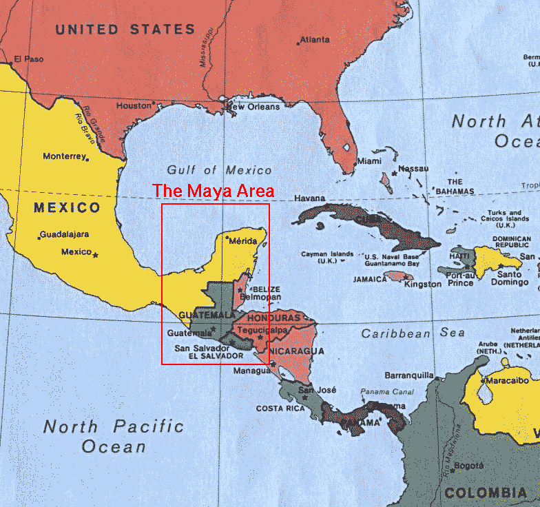
Map
of Mayan Area In relations to North and South America.
Visual = 5 Content = N/A
Y3070
Map of Central America Click on the areas below to get a more detailed map with ancient sites and modern day cities.
Visual = 5 Content = N/A
Y3080
Maps of Mesoamerican Sites Six maps based on time period.
Visual = 5 Content = N/A
Y3090
Linguistic Map of Mesoamerica Color coded map.
Visual = 5 Content = N/A
Y3100
Maps of Cities and Archeological Sites
Chichen Itza Map Click to enlarge the map.Visual = 5 Content = 3 Y3110
Copan City Lay Out Excellent illustration of city.
Visual = 5 Content = N/A Y3120
Map of Palenque Colored map showing major areas.
Visual = 5 Content = N/A Y3130
Map of Palenque
Visual = 4 Content = 2 Y3140
Maps of Palenque Over 26 maps of the city.
Visual = 5 Content = N/A Y3150
Map of Tikal Click on arrows to see images.
Visual = 5 Content = N/A
Y3160
Uxmal Map
Visual = 5 Content = N/A
Y3170

